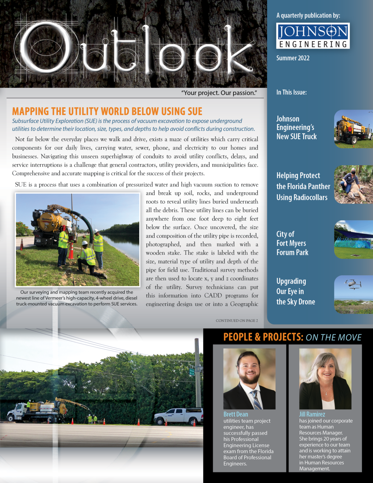
 Johnson Engineering has recently upgraded our drone capabilities, adding a second drone to our arsenal, the new DJI Mavic 3. This compact, lightweight drone allows for a longer flight time, offers higher resolution camera/video capabilities, and doubles the distance we can fly from base.
We currently have four in-house drone pilots, all with Federal Aviation Administration (FAA) 107-Certified Unmanned Aircraft Systems (UAS) pilot certification. Drones allow us to create cost-effective, high-quality drone-based aerial images and video, data for analysis, surveying, aerial mapping for a variety of applications in the engineering, environmental, construction, mining, and agricultural industries. We can assist with identifying problems and formulating solutions for your project using information provided by our drone footage.
If you’re interested in adding drone-based aerial or video production services to your existing project or have a new project that would benefit from drone-based aerial imagery or videos, please contact your Johnson Engineering project manager or our Marketing Director, Juli Kern, at [email protected] , to discuss how we can best serve your specific needs.