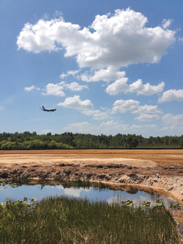
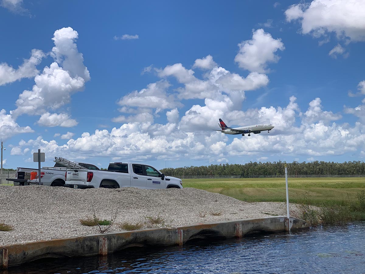
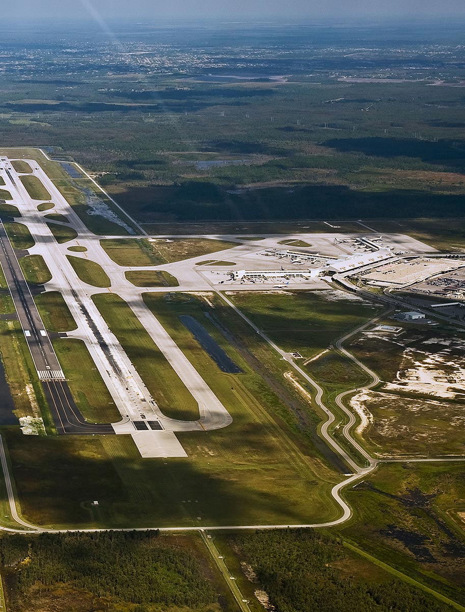
Southwest Florida International Airport (RSW) is located in Fort Myers, Florida, and is one of the top 50 U.S. airports for passenger traffic. Johnson Engineering has been an integral part of the airport infrastructure, working as a team member for the Lee County Port Authority (LCPA) back in the late 1970s when the first airfield was designed and permitted.
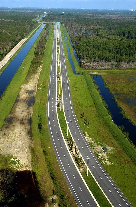
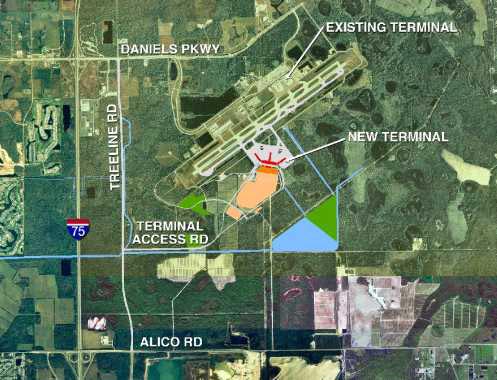
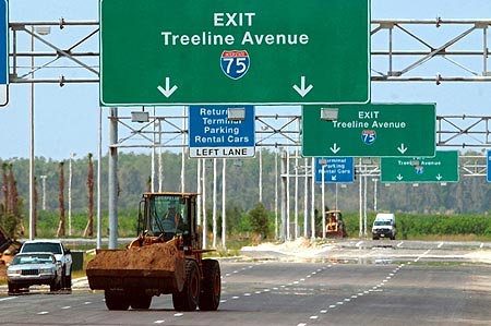
As a general planning and environmental consultant for LCPA, our team was heavily involved with Project Millennium in the 1990s, the largest Capital Improvement Projects (CIP) in the history of Southwest Florida, totaling more than $380,000,000. The project included construction of the new Midfield Terminal Complex and associated facilities, the extension of Treeline Avenue from Daniels Parkway to Alico Road, the addition of a connector road from the Midfield Terminal to Treeline Avenue, expansion of parking facilities, and additional airport support facilities. Today, Johnson Engineering remains the lead planning and environmental consultant for the airport and continues to provide miscellaneous services.

SOUTHWEST FLORIDA
INTERNATIONAL AIRPORT
What We Provided
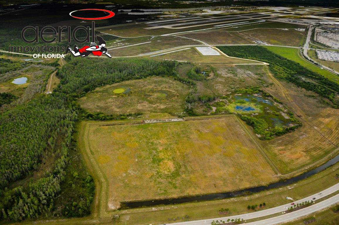
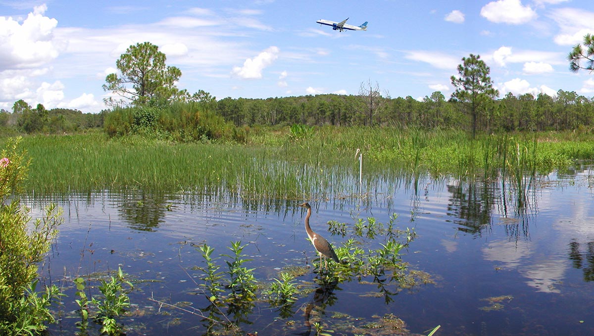
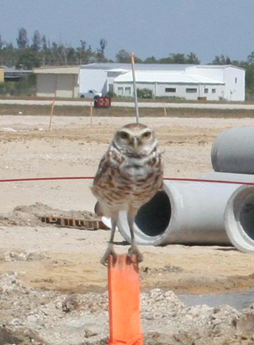
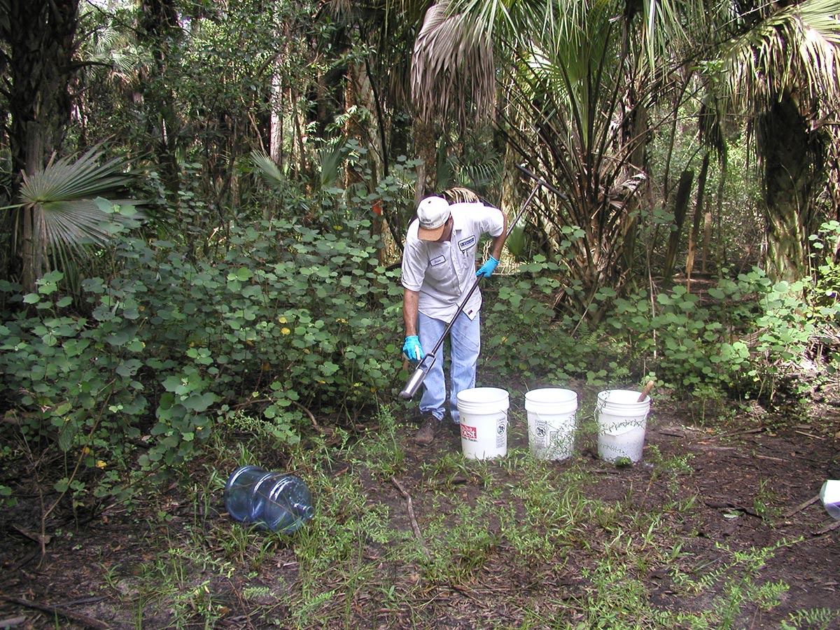
Our environmental team has worked with the LCPA at the RSW for over two decades. We conducted the habitat mapping, wetland determinations, and wildlife surveys for the Midfield Terminal Complex expansion and helped to secure SFWMD and USACE permits for the project, which encompassed more than 3,000 acres and involved over 600 acres of wetland impacts. The team was instrumental in the design, permitting, and implementation of the airport’s 7000-acre offsite Mitigation Park, which included a mosaic of wetland and upland habitat restoration and over 500 acres of wetland creation. We prepared the Mitigation Park management plan and conducted wetland monitoring and oversaw controlled burns and exotic maintenance on the property for many years. The team was also instrumental in developing the methodology and conducting the Wildlife Hazard Assessment (WHA) and subsequent Wildlife Hazard Management Plan for SWFIA. More recently, our FAA Qualified Airport Wildlife Biologists assisted with the design, permitting, and implementation of the airport’s Remediation of Hazardous Wildlife Areas project, in which habitat modifications were made within the vicinity of the runway to reduce the attractiveness of the area to waterfowl and wading birds, thereby minimizing the risk to aircraft and passengers from potential bird strikes. Our team continues to assist airport safety through participation in their Hazardous Wildlife Working Group and continued wildlife monitoring in and around the airfield.
Our GIS team functioned in a support role for our Water Management and Environmental efforts for the Midfield Terminal Project, as well as other endeavors for LCPA. The GIS team also provided critical information to support the hydraulic modeling efforts, which were a part of the permitting and planning for the Midfield Terminal. GIS played an important role in the environmental permitting efforts, using spatial analysis to catalog and document land use acreages and wetland impact calculations, both for the Midfield Terminal and the large Mitigation Park to the east of the airport. The airports Wildlife Hazard Mitigation Program is also heavily supported by GIS operations. The GIS team supports the annual FAA required operational reports with analysis and exhibits, as well as providing continued support to LCPA’s in-house GIS staff in a variety of efforts.
Our land development team began the design and permitting effort for Project Millennium in 1997. The team was responsible for the airport expansion which involved more than five miles of roadway design along with utilities, site clearing, and filling and permitting of more than 1,500 acres of development area. The development team also led the effort in the Remediation of Wildlife Hazard Areas project. Our role was to evaluate the identified wildlife hazard areas and provide design, permitting, and construction oversight for remediation of the areas.
Our landscape architecture team assisted our Ecological & Environmental group with selecting plant species recommended for future landscaping within the Airport Operations Area (AOA) in an effort to reduce wildlife habitat and wildlife strikes of aircraft on takeoffs and landings. We established priority zones based on vegetative attractants of high-risk wildlife and identified risk areas as Compatible Groups 1 and 2, and a Non-Compatible Group in the LCPA Landscape Guide to assist landscape designers with plant selections. Our team developed a list of culturally durable plants for our Southwest Florida geographic location and ranked each plant species based on each plants level of wildlife attractants. Plants with high attractant characteristics such as food and habitat cover for terrestrial mammals and flocking birds were identified in the Compatibility Groups described above.
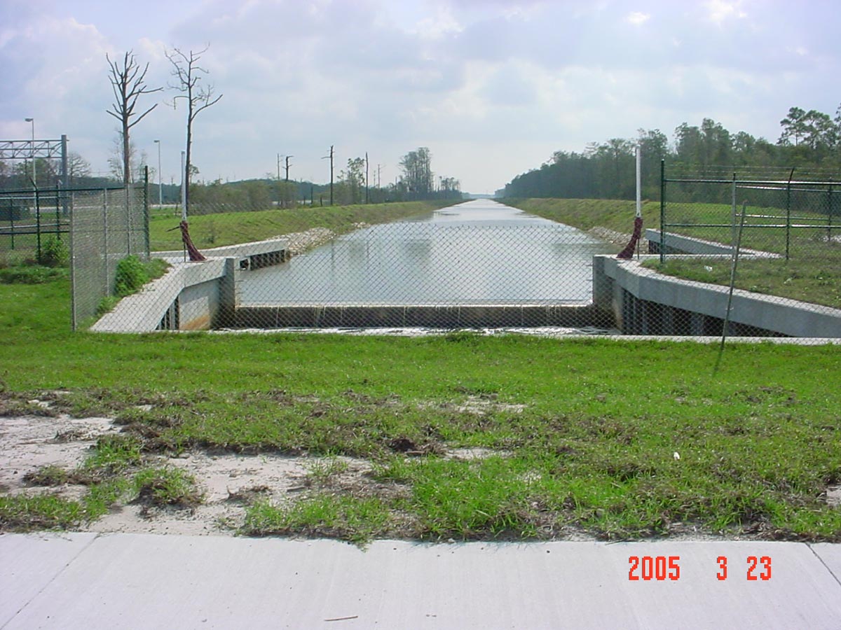
Johnson Engineering began permitting the mid-field terminal and associated improvements in the mid-1990s with conceptual/surface water management permits which later facilitated a modification allowing for construction permitting of the entire Millennium project that saved several years of difficult permitting. The master drainage system, including the connection to the Fiddlesticks Outfall to Ten Mile Canal, was designed by our team.
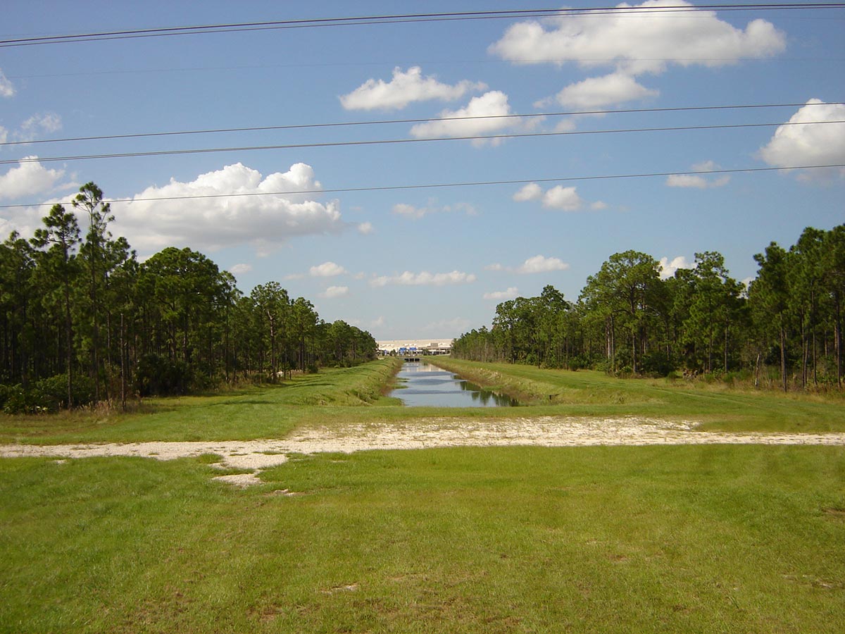
The site design included modeling an area of about 8,000 acres of which the airport was about half. Detention areas and conveyances were designed to meet FAA, SFWMD, and U.S. Army Corps of Engineers (USCOE) requirements. The facilities include a wet detention pond of 140 acres, dry detention totaling more than 100 acres, more than seven miles of major conveyance channel, and nine major water control structures.
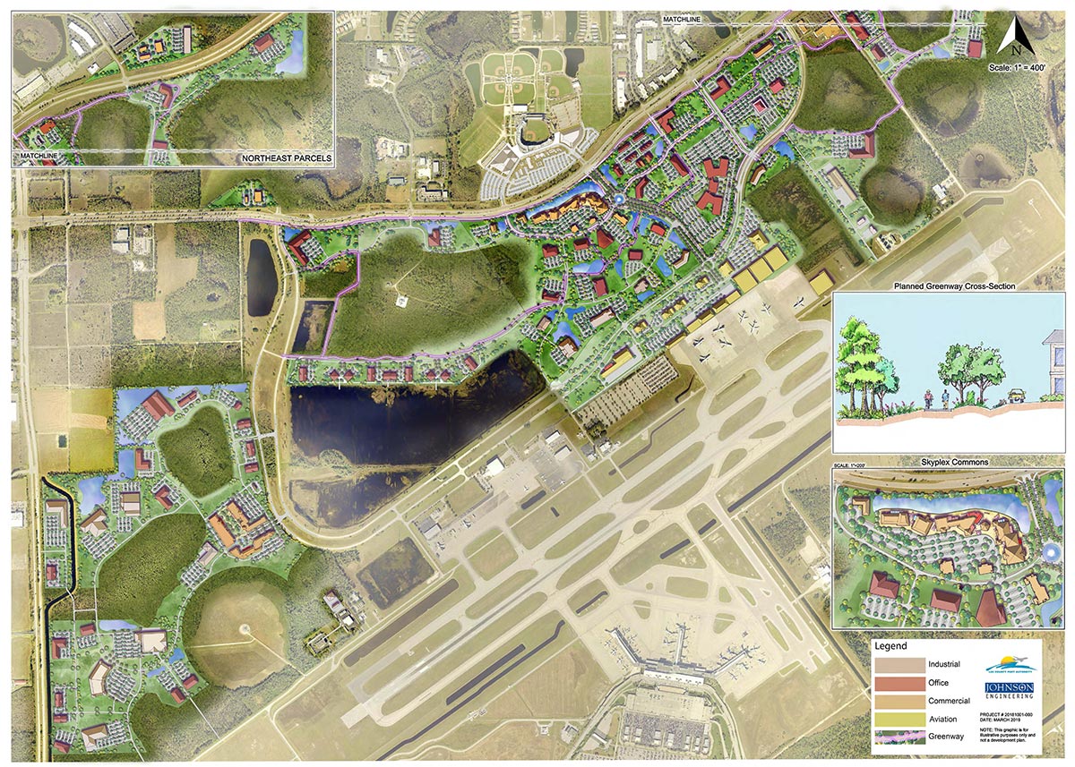
As a general planning services consultant for LCPA, our planning team has worked in support of many aspects of operations of RSW for decades. We provide planning related services and manage projects involving master planning, concept plans and phasing of development alternatives, market feasibility studies, site selection studies, airport compatibility and comprehensive plan compliance, land development code updates, and processing of Airport Operations Planned Development approvals for RSW.
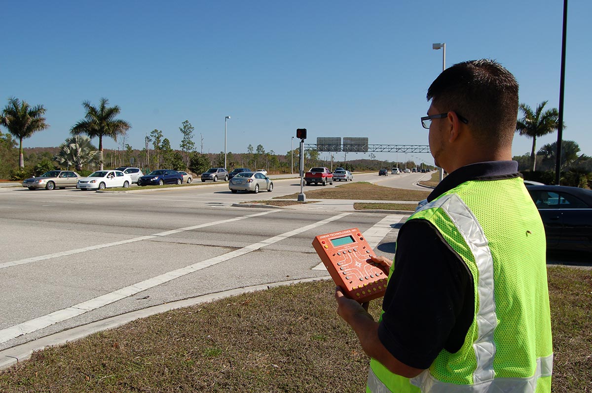
Our transportation team provided a traffic analysis for the modeling and projected level of service of the RSW entrance road and adjacent intersections. Our team analyzed current traffic conditions and developed traffic projections for the Terminal Access Road; analyzed current and projected Level of Service at the intersection of Terminal Access Road and Air Cargo Lane; analyzed financial impacts and intersection Level of Service for the Cell Phone Lot, including potential “slip lane” design and/or reassignment of the lot to future gas station development.
Our surveying team has been involved with surveying the lands that make up the airport boundaries since 1966. In 1976 and 1977 we completed a boundary survey for the airport property. In 2018-2019 we performed design surveys for the rehabilitation of Chamberlin Parkway, Paul J. Doherty Parkway, Fuel Farm Road, Perimeter Road, Service Road, Regional Lane, and the Private Sky Way/Freight Parking Lot. Horizontal control points were established utilizing GPS methodology and redundant observations. Vertical control points were established utilizing a digital level with closed-level loops. In 2000, we completed the boundary survey for the Project Millennium airport expansion. We utilized our historical land records, local knowledge, and global positioning system (GPS) to complete the 6,400-acre surveying project. We had to reestablish and prove numerous sectional land corners and road rights of way due to the years of development. Site security and access were additional issues that were addressed and resolved through coordination and planning with the LCPA staff. Our survey team also provided the construction surveying for the 368,500 square foot terminal building. This included the layout and record drawings for 5,200 piles and established horizontal and vertical control for all the building’s contractors.
Our team implemented a water quality monitoring program on behalf of the LCPA to monitor surface water quality discharging from the airport. The mitigation design included the installation of 40 continuous acoustic well recorders, three rain gauges, historic flow-way mapping, and creating a two-dimensional hydrologic model to determine proper wetland creation elevations.
Johnson Engineering helped RSW obtain a master dewatering permit through the SFWMD to facilitate ongoing construction dewatering activities on airport property. The 20-year duration permit allows for the expeditious addition of dewatering projects without the need for a full permit application. Since 2013, RSW has used the permit for various projects, such as those shown in the master Airport Layout Plan (ALP). Long-term projects incorporated in the master dewatering permit include the Air Traffic Control Tower, Parallel Runway and Taxiways, and work related to the Skyplex site.