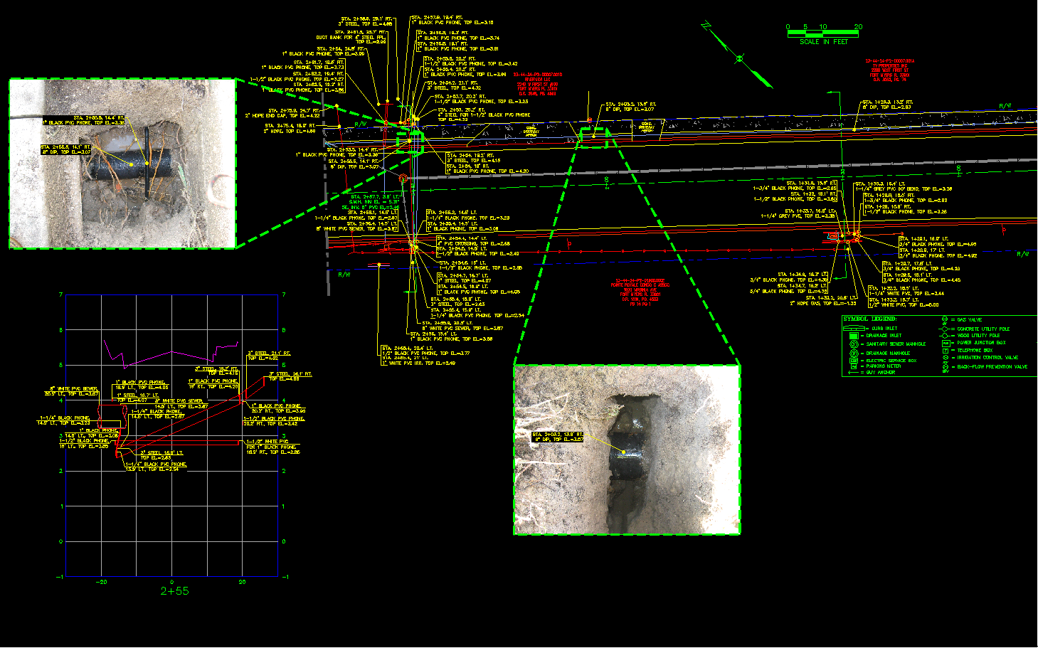
Our surveying and mapping team has provided wide-ranging and specialized services to many public, private, and industrial clients. Our extensive library consists of more than seven decades of land records, early plats, survey drawings, and history in our area, helping us provide our clients with surveys that have measured and defined the lands in Florida. Our team is knowledgeable of local land development codes, statutes, and platting requirements. As a result, we work closely with real estate attorneys, land developers, and lending institutions to provide American Land Title Association (ALTA) surveys needed during the title process when dealing with valuable commercial properties. We create sketches and legal descriptions of real property, easements, water bodies, and conservation areas using graphic and verbal means that mathematically articulate these features.
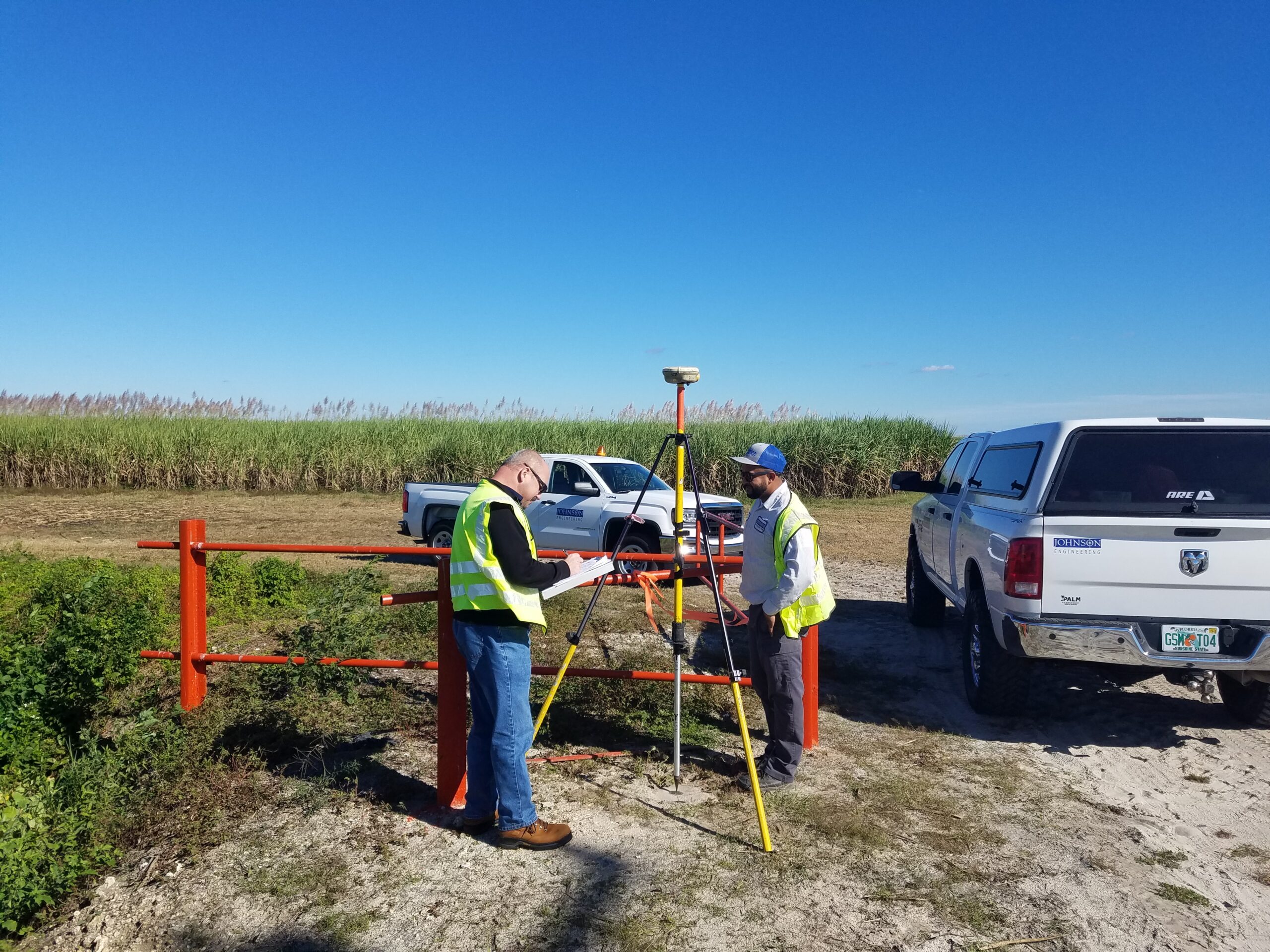
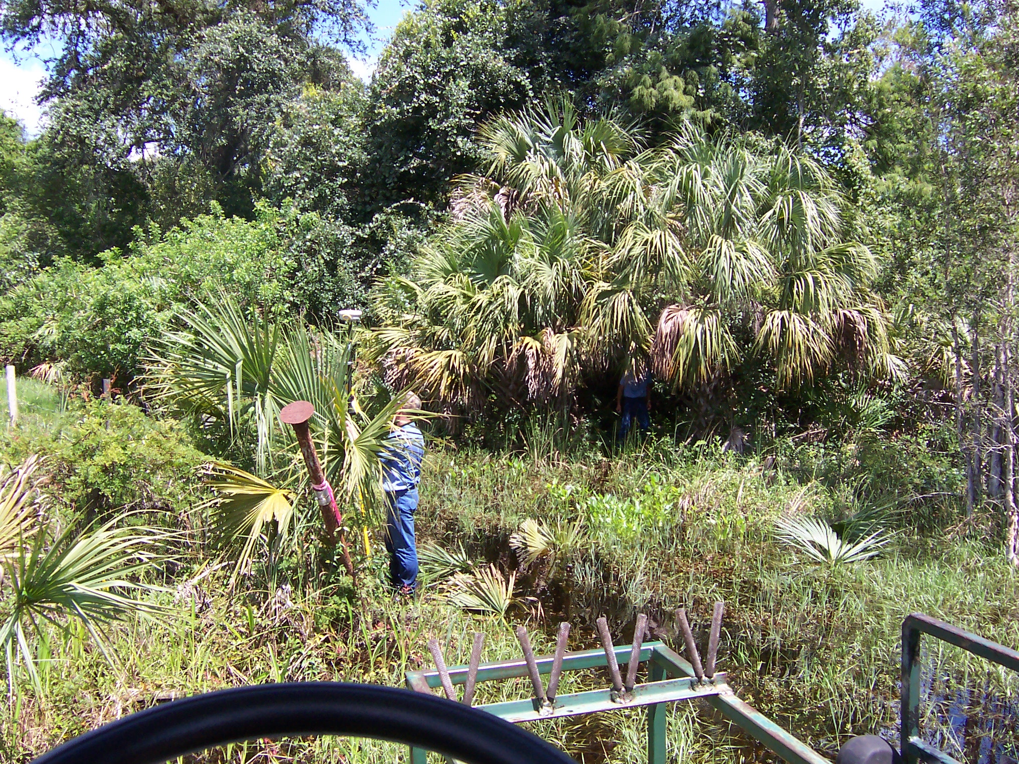
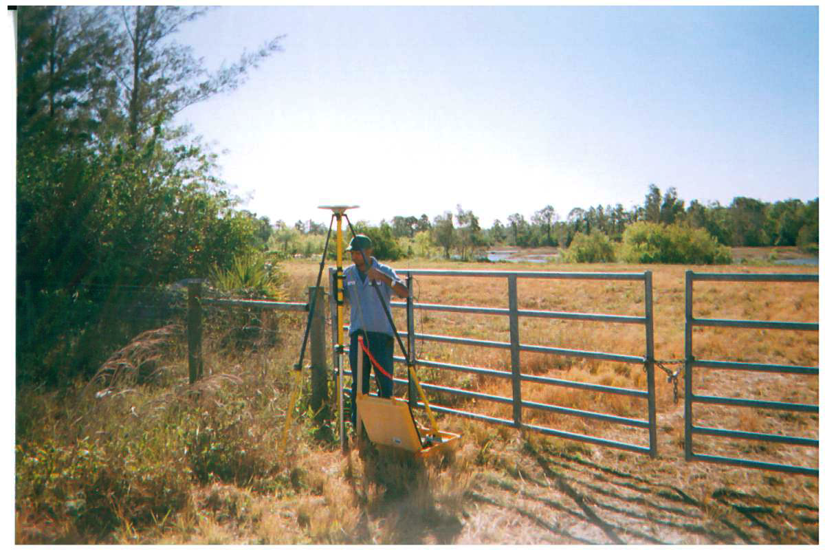
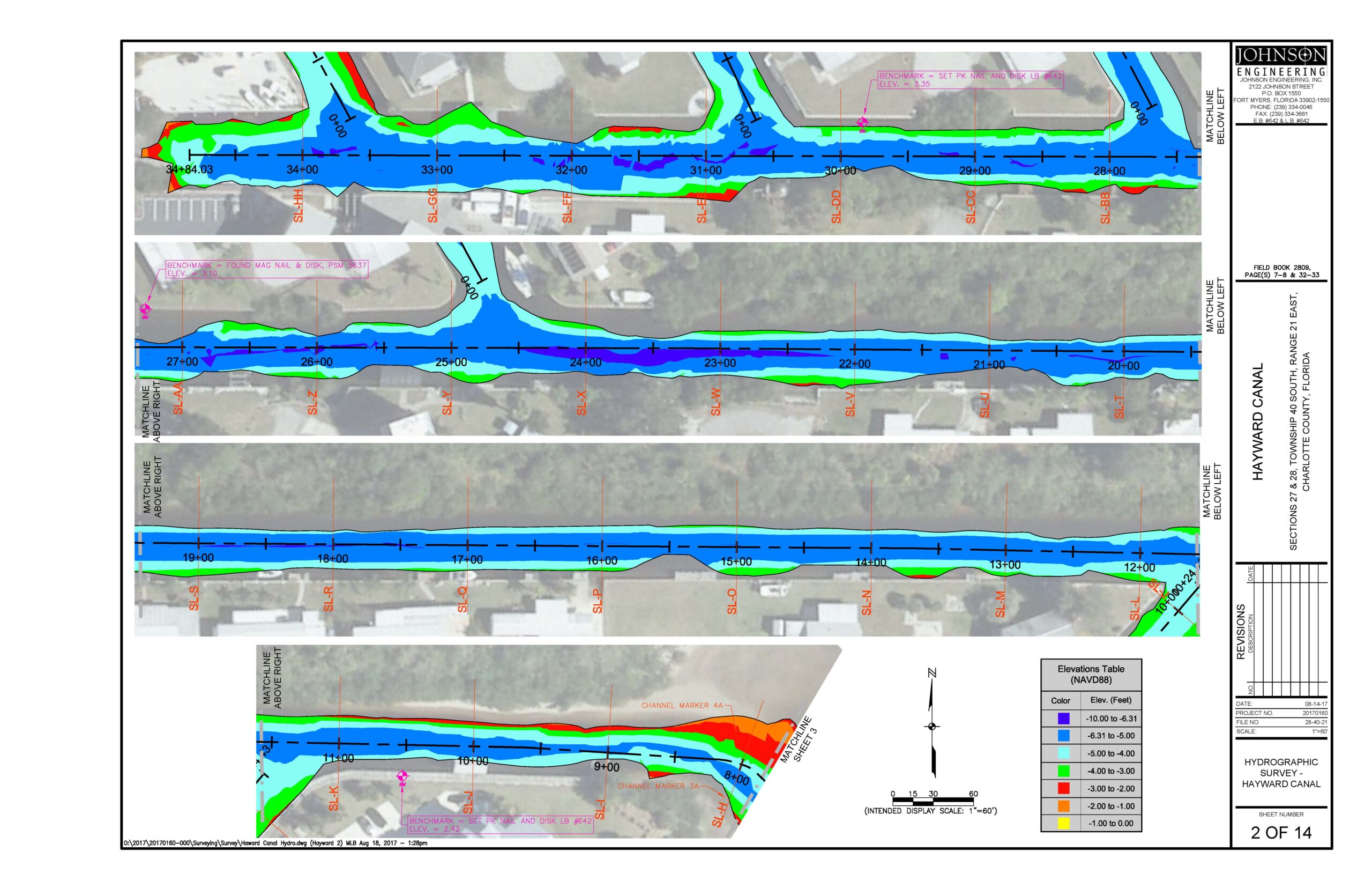
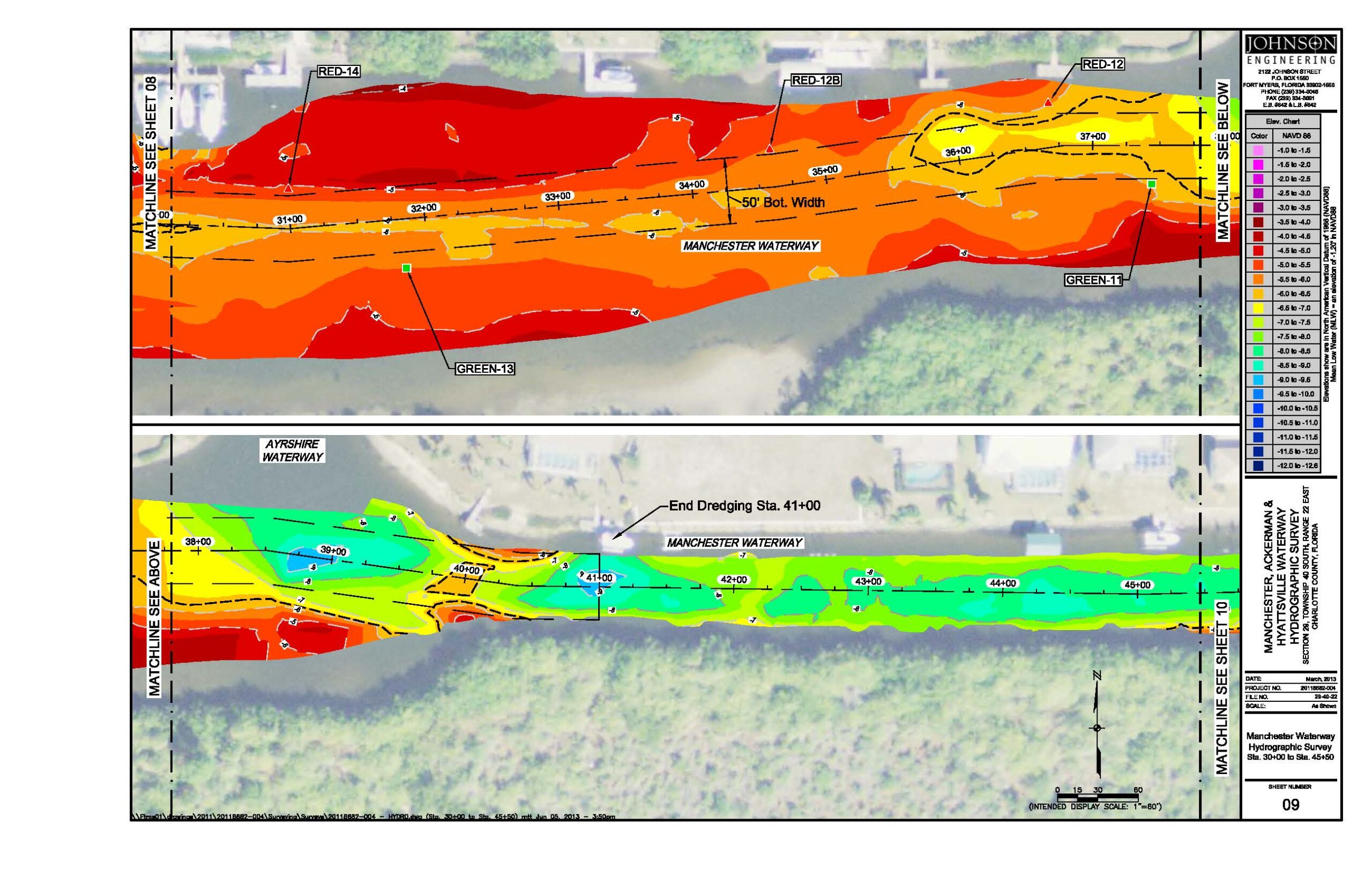
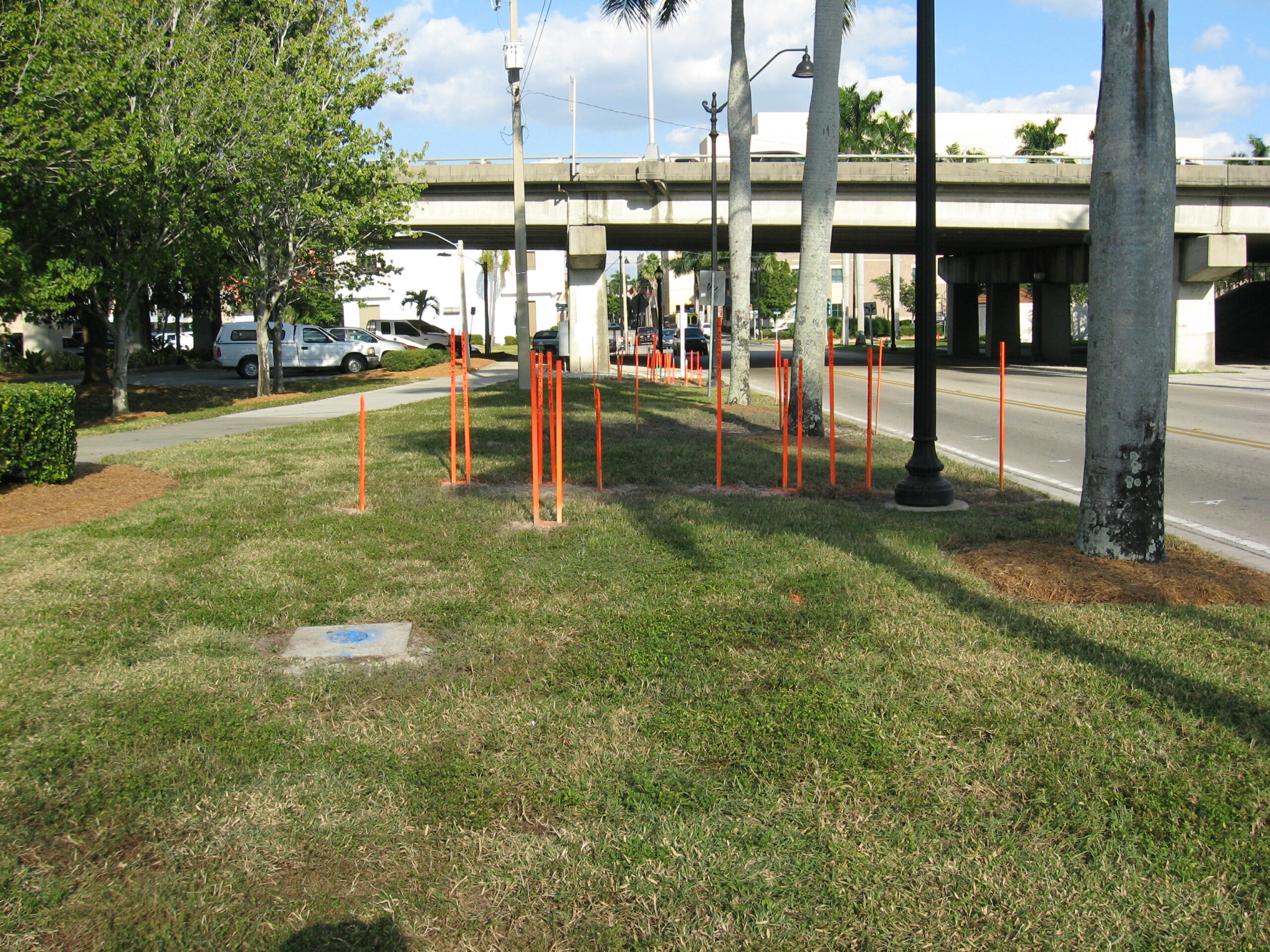
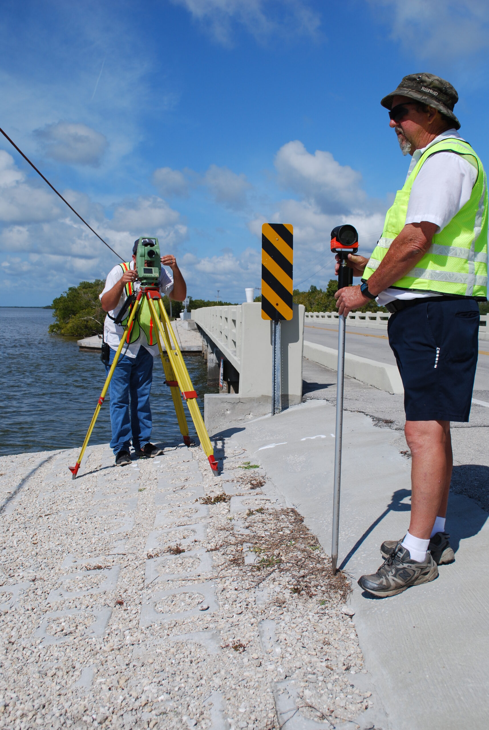
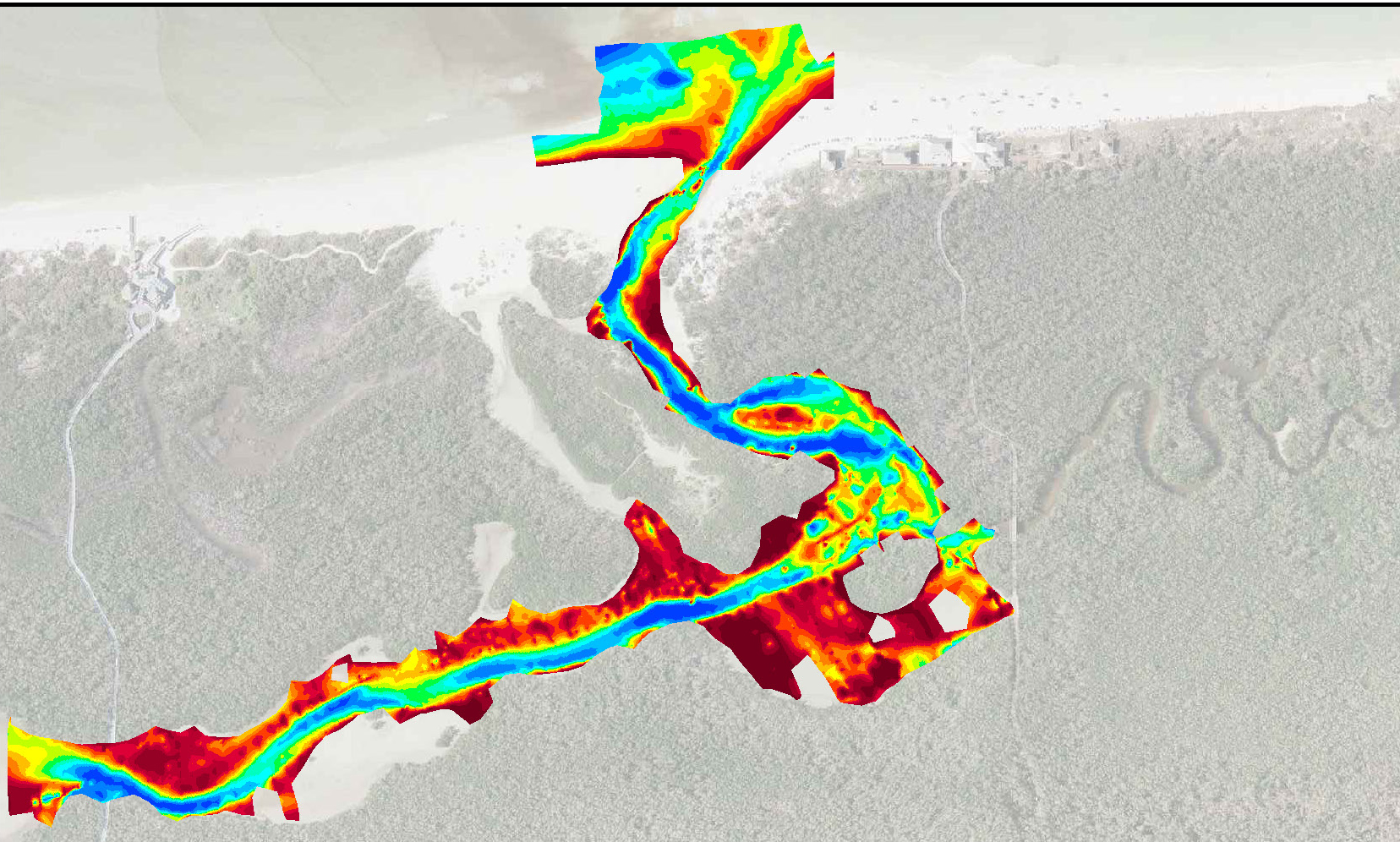
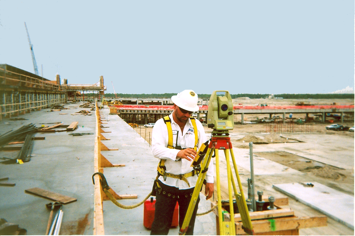
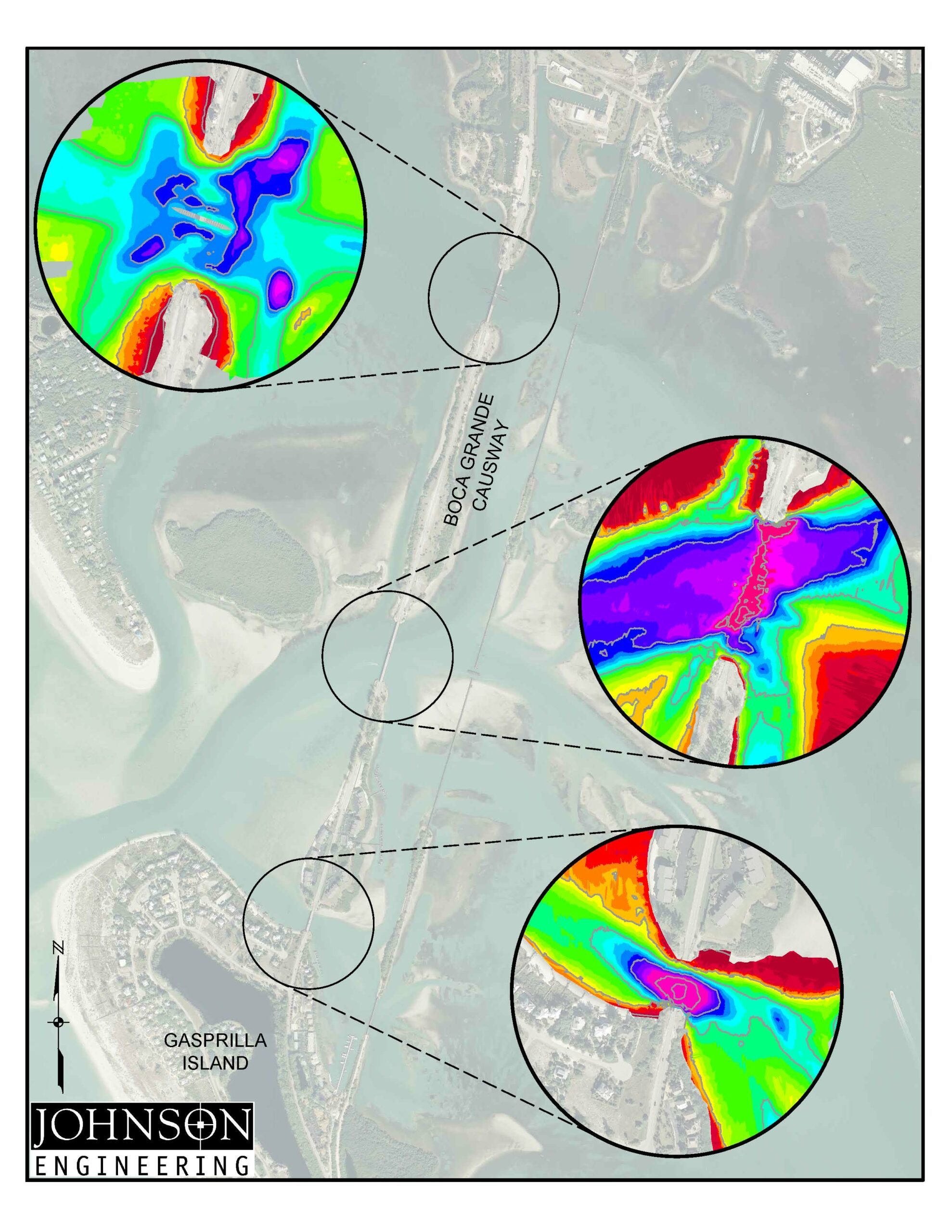
A strength in our survey group is the use of global positioning systems (GPS), digital levels, improved aerial imaging, and traditional survey methods to provide record mapping services to show clients, building officials, and general contractors existing conditions prior to a project followed by the conditions after construction. Construction layout is an essential service provided to land developers, general contractors, and civil engineers helping to bring the designer’s vision to reality. Using GPS and other conventional means of surveying, aerial targets are established or located so that these images are validated to the local horizontal and vertical datum.
- Boundary Surveys
- Construction Layout
- Platting
- Record Surveys
- Sketches and Legal Descriptions
- Geotechnical Support
- Aerial Support