 SURVEYING A RIVER OF GRASS
Since July, the Johnson Engineering team has surveyed more than 86,203 acres, 60 miles of railroad and set more than 2,500 boundary corners for United States Sugar Corporation throughout Glades, Hendry, and portions of Palm Beach Counties.
In July 2008, United States Sugar Corporation (USSC) announced the proposed sale of their 185,000 acres of land to the South Florida Water Management District (SFWMD). Realizing surveying sectionalized lands of this magnitude would be a monumental opportunity for Johnson Engineering, we quickly submitted our scope and fees to perform the needed surveys. Based on our team’s reputation, capabilities and in-house resources, we were selected to survey 80,000 acres in Glades and Hendry Counties.
Phase I: Mobilization
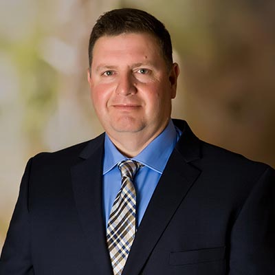
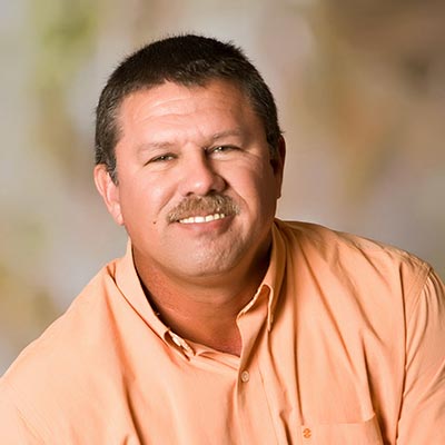
Under the direction of Orvell Howard, owner of Survey1, LLC., and former USSC veteran, our team began preparing to complete the needed surveys in the required time frame. Johnson Engineering’s surveying and mapping director, Mark Wentzel and LaBelle office survey manager, Matt Howard, didn’t waste any time, immediately gathering historical survey data to prepare for this opportunity. Within five days of the project start, Matt mobilized six survey field teams to the area to begin conducting boundary surveys.
Matt knew completing a project of this size in five short months would require a dedicated and focused team working together in one location. After being given the reins to hand select this team, Matt moved several highly qualified team members from our various offices to LaBelle. Our LaBelle office became the project central command center as the team hit the ground running working days, nights, and weekends conducting boundary surveys of the land, preparing worksheets, production drawings, plotting aerials and performing endless title work. USSC and SFWMD provided AutoCAD files, PDF’s, TIFF’s, scanned historical surveys, and numerous right of way maps for roads and canals. Team meetings were crucial for project communication and focus, on a daily and sometimes hourly basis, as the ever-changing project at times brought them in many different directions. The tight quarters quickly challenged this group to become one strong cohesive team, working together to problem solve and efficiently reach a common goal.
The strict time frame challenged us to complete a years worth of work in five months, all while overcoming many obstacles. Tropical Storm Faye hitting the area caused down power lines and flooding in many of the areas our field teams needed to survey. The project was further complicated as it revealed incomplete title work, since not all the property was officially in USSC’s name. Since much of the land was acquired in the 1930’s, new descriptions were not properly prepared on certain sold portions, making it unclear who actually owned the land. Our team spent countless hours researching historical surveys and right of way maps to determine the correct location of the section corners, which at times were off by up to 50 feet. Weeks later, additional historical records would reveal new survey data, taking us in an entirely different direction. Had time not been a factor, all necessary information would have been gathered and sorted in advance to avoid such changes.
One of the large challenges we faced was at Lake Hicpochee in Glades County. One of our boundary lines was the shore of Lake Hicpochee, which is owned by the State. Initially we thought the Florida Department of Environmental Protection would require us to perform an Ordinary High Water Line Survey (OHWL) to determine the boundary line. Time didn’t permit for the extensive efforts it would take to perform the typical OHWL survey, so after extensive discussions between State officials and Orvell Howard, an alternate method was deemed sufficient to establish the boundary line.
This method involved using a scanned digital file of a survey prepared in the early 1900’s, which had the shoreline of Lake Hicpochee delineated, along with section lines. We used the scanned survey, georeferenced it to the section corners we located and field tied, then digitized the shoreline. This seemed simple enough, however it turned into quite a challenging process for our team. We researched and compiled records from multiple firms and governmental agencies, which revealed section corners found or set by each were not always the same corner location. The problem centered on the township line between Township 42 South and Township 43 South, Range 32 East. Further complicating this survey was the North tier of sections in Township 43 South are only about 600 feet long at the west side of the township and got shorter as we went east, making these section dimensions non-typical. Two weeks of research comparing the section corners we found, together with the historical surveys, and determining which corners to hold, we finally finalized the township line.
Phase 2: Vesting Deeds in and Vesting Deeds Out
In October, we were tasked with mapping all USSC’s vesting deeds. They provided us with all the deeds for the property they owned, followed by the property they sold, or no longer had title to. By mapping the “deeds in” and removing “deeds out”, we were left with the land USSC currently owns. The quality and quantity produced by our title team, lead by Francie Summerall and Devon Hart, moved us into the position to map all of USSC’s deeds for Glades, Hendry and Palm Beach Counties. USSC provided us with digital files from the company surveying their Palm Beach County lands, allowing us to map on top of their surveyed areas. Once the vesting deed mapping was completed, we provided the digital line work to the Palm Beach County surveying company to revise their boundary surveys, based on those deeds.
Phase 3: Railroads
In November, USSC contacted us to determine the railroad acreage for the proposed rights of way. We prepared exhibits showing the acreage and adjacent haul roads to use as contract documents. Four days later, we were asked to begin surveying to develop a right of way survey and description for the nearly 60 miles of rail. Our field teams immediately dispatched, outfitting their specialty pick up trucks, designed to travel on the rails, with GPS receivers allowing us to continuously collect points every 50 feet. This data quickly provided us with a high quality centerline for the railroad tracks, allowing the right of way maps to be prepared.
Phase 4: Drainage Districts
Our team received another request to map the drainage district canals and levees for Glades, Hendry, and Palm Beach Counties. Mapping on aerial images, with field verification, was the only way to produce the line work for the complex mapping process.
Phase 5: Preparing Descriptions
The title work originally provided to us was based on a mortgage agreement and did not contain all lands owned by USSC. Once the vested deeds, railroad corridor, and drainage districts were mapped, we then prepared new descriptions of USSC’s land ownership in Glades, Hendry and Palm Beach Counties. These new descriptions were based on the format of the original vesting deeds and were also provided to the West Palm Beach surveying company to revise and update their surveys.
Phase 6: Township 41 South, Range 37 East
In late December, we were asked to assume the survey efforts in Township 41 South, Range 37 East in Palm Beach County. This township has been highly publicized regarding the issues relating to inaccurate past surveys. The position of the township’s calculated section corners do not agree with the lines of occupation. After lengthy discussions with local surveyors, it was agreed that the occupation lines were the only way to make the surveys work with ownership and eliminate recreating the wheel.
Phase 7: Revise and Update Boundary Surveys
The final phase of the project has us currently updating our boundary surveys to reflect the information established from the vesting deeds, railroad surveys, drainage districts, and new descriptions.
Summary
Since July, the Johnson Engineering team has surveyed more than 86,203 acres of land, 60 miles of railroad and set more than 2,500 boundary corners throughout Glades, Hendry and portions of Palm Beach Counties. There was no task too big, no schedule too tight for our team. This project allowed us to challenge ourselves, grow as a team and gain valuable experience that will benefit our clients’ projects well into the future.
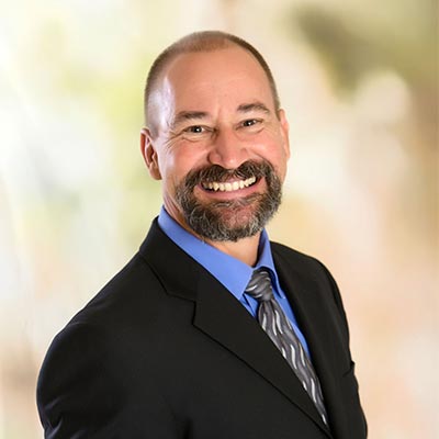
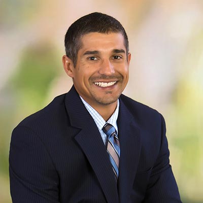
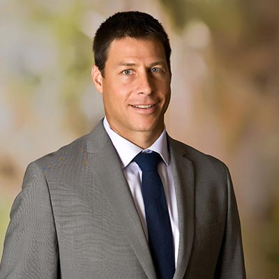
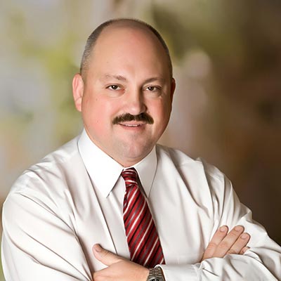
Johnson Engineering’s U.S. Sugar Lead Team
Lonnie Howard, P.E., Contract Manager
Matt Howard, P.S.M., Project Manager
Mark Wentzel, P.S.M., Survey Director
Kevin RisCassi, P.S.M., Production Surveyor
Francie Summerall, P.S.M.,Title Examiner
Devon Hart, Title Examiner
Mike Tiseo, CAD Technician
Alfredo Perez, CAD Technician
T.M. White, CAD Technician
Robert Howard, Field Team Supervisor
Tad Simpson, P.S.M., Production Surveyor
If you have surveying and mapping needs, please contact Mark Wentzel, P.S.M. at 239.461.2440 or [email protected].
_____________________________________________________________
WATER USE PERMIT COMPLIANCE SOLUTIONS
Many of you hold consumptive water use permits from the South Florida Water Management District (SFWMD) or Southwest Florida Water Management District (SWFWMD) for irrigation, public water supply, dewatering, or industrial uses that require periodic compliance monitoring and reporting. Performing these monitoring activities should not create a cost or time burden for you. Our team of water resource professionals routinely perform monitoring services for homeowners associations, Community Development Districts, property management companies, agricultural operations, resorts, and golf courses throughout Southwest Florida.
Monitoring typically consists of pumpage recording, wetland water level measurement, rainfall monitoring, and dissolved chloride testing. Complying with the limiting conditions of your water use permit is an important part of maintaining your existing water rights and making sure your next permit renewal or modification goes smoothly. If you have questions about your water use permit, or if you would like a proposal to perform the required monitoring, please contact Wesley Williams at 239.461.2472 or [email protected].
_____________________________________________________________
JOHNSON ENGINEERING PARTNERS WITH THE FLORIDA DIVISION OF FORESTRY FOR UNIQUE URBAN BURN
A 30-acre prescribed burn was conducted within the south preserve of the Naples community Autumn Woods through a joint effort by Johnson Engineering, the Florida Division of Forestry, and the North Naples Fire Department.
Johnson Engineering ecologists and the Florida Division of Forestry promoted the urban burn to community residents in an effort to reduce hazardous vegetation and maintain the preserve to benefit wildlife. More importantly, the goal was to reduce the potential wildfire risk to surrounding homes.
Historically, periodic lighting ignited wildfires were integral in maintaining vegetative succession. Prescribed burning is the most cost effective tool to reduce overgrown vegetation, eradicate certain exotic and nuisance plant species, and consume accumulated plant material (fuels) that create unsafe conditions for homes near preserve areas. Through prescribed burning, nutrients from the vegetation are recycled back to the soil helping germination of certain plant species, including Slash Pine and some wildflowers. Fire is also essential in providing the right habitat for wildlife species such as the gopher tortoise as it clears the ground cover allowing them to be more mobile.
Johnson Engineering and the Florida Division of Forestry prepared and educated the residents of Autumn Woods for what they could expect during and after the prescribed burn. The community understood the importance of the burn and financially supported the project.
For more information on how Johnson Engineering can help you with your preserve management program, please contact Christopher Stephens at 239.461.2414.
_____________________________________________________________
People & Projects: ON THE MOVE
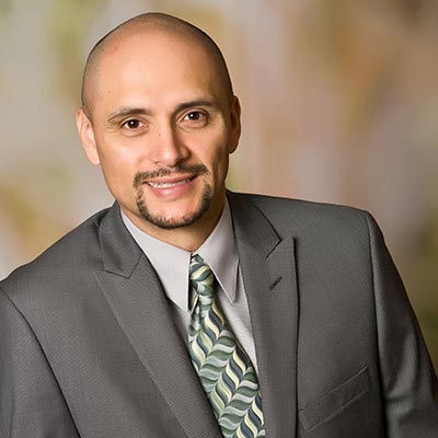
Ricardo Acosta, P.E.
Fort Myers surface water management team project manager, recently earned his professional civil engineering (P.E.) license.
Rick is a stormwater engineer in the surface water management team. He handles the design and permitting of surface water management systems that service mixed use developments, roadways and municipal projects. He has prior experience working on the design and construction management of the Southwest Florida International Airport expansion project and determining quantities for pay, participating in resolution of design and construction related issues, and in contract close-out documentation.
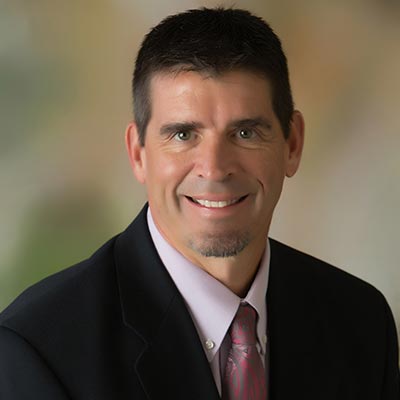
Kimberly Arnold, P.G.
Fort Myers water supply team project manager, recently earned her professional geologist (P.G.) certification.
Kim performs hydrogeologic investigations, water resource assessments, hydrologic monitoring program development, water management district water use and Florida Department of Environmental Protection permitting. She has assisted in Public Service Commission utility certification cases, comprehensive plan amendment applications and Development of Regional Impact applications for large-scale developments. Kim is familiar with the hydrogeology of Southwest Florida and its regulatory requirements, having worked for the South Florida Water Management District as a hydrogeologist involved with water use permitting prior to joining Johnson Engineering. She has experience with groundwater modeling, hydrologic data analysis, and the use of GIS in addressing water resource and environmental issues.


